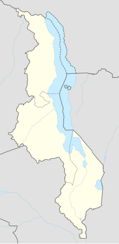
Chitipa
[[Category:Template:Pagetypes with short description]]
Chitipa | |
|---|---|
| Coordinates: 9°42′07″S 33°16′12″E / 9.70194°S 33.27000°E | |
| Country | The ID " module 'Module" is unknown to the system. Please use a valid entity ID. |
| Region | Northern Region |
| District | Chitipa District |
| Population (2018 Census[1]) | |
| • Total | 17,743 |
| Time zone | +2 |
| Climate | Aw |
Chiringa ina woni ko ina tolnoo e kilooji 20 (12 mi), e laawol, fuɗnaange Phalombe, ɗo gardiiɗo diiwaan oo woni ɗoo.[1] Ɗum ko hedde 104 kiloomeeteer (65 mi), e laawol, fuɗnaange Blantyre, laamorgo kaalis Malawi e wuro ɓurngo mawnude e nder diiwaan Malawi to bannge worgo.[2] Koɗorɗe leydi Chiringa, Malawi ko 15°46'32.0"S, 35°46'02.0"E (Njuutirndi:-15.775556; Njuuteeki:35.767222).
Demmografi
taƴto| Taal | Yimɓe |
|---|---|
| 1987 | 4,925 |
| 1998 | 7,636 |
| 2008 | 14,753 |
| 2018 | 17,743 |
Firooji
taƴto.mw-parser-output .reflist{margin-bottom:0.5em;list-style-type:decimal}@media screen{.mw-parser-output .reflist{font-size:90%}}.mw-parser-output .reflist .references{font-size:100%;margin-bottom:0;list-style-type:inherit}.mw-parser-output .reflist-columns-2{column-width:30em}.mw-parser-output .reflist-columns-3{column-width:25em}.mw-parser-output .reflist-columns{margin-top:0.3em}.mw-parser-output .reflist-columns ol{margin-top:0}.mw-parser-output .reflist-columns li{page-break-inside:avoid;break-inside:avoid-column}.mw-parser-output .reflist-upper-alpha{list-style-type:upper-alpha}.mw-parser-output .reflist-upper-roman{list-style-type:upper-roman}.mw-parser-output .reflist-lower-alpha{list-style-type:lower-alpha}.mw-parser-output .reflist-lower-greek{list-style-type:lower-greek}.mw-parser-output .reflist-lower-roman{list-style-type:lower-roman}
- ↑ "2018 Population and Housing Census Main Report" (PDF). Malawi National Statistical Office. Retrieved 25 December 2019.
