File:Offenbach Hills.jpg

Ɓetol ngol jiytol: 800 × 449 piksel. weerngooji: goɗɗi 320 × 180 piksel | 640 × 360 piksel | 1 024 × 575 piksel | 1 280 × 719 piksel | 2 592 × 1 456 piksel.
Fiilde asliire (2 592 × 1 456 piksele, ɓetol fiilde: 1,01 MB, mbaydi MIME: image/jpeg)
Tonngol
| Cifagol |
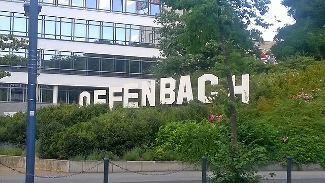
Deutsch: Offenbach Hills |
| Ñalngu | |
| Sewnde | Golle am keeriiɗe |
| Binnduɗo | Offenbacherjung |
| Camera location | | View this and other nearby images on: OpenStreetMap |
|---|
Jamirooje
I, the copyright holder of this work, hereby publish it under the following license:
This file is licensed under the Creative Commons Attribution-Share Alike 4.0 International license.
- Aɗa wellitii:
- e lollinde – e tummbitaade, saakde e ɓenninde golle ɗee
- e muultaade – e jaaɓtinde
- E ɗii-ɗoo sarɗiiji:
- fe'inana – You must give appropriate credit, provide a link to the license, and indicate if changes were made. You may do so in any reasonable manner, but not in any way that suggests the licensor endorses you or your use.
- lollin nannduɗe – If you remix, transform, or build upon the material, you must distribute your contributions under the same or compatible license as the original.
Aslol fiilde
Dobo e ñalngu/waktu ngam yiyde fiilde ndee no nde yaltirta e oon waktu nih.
| Ñalngu/Waktu | Dooɓre | Ɓete | Kuutoro | Yowre | |
|---|---|---|---|---|---|
| gonaaɗo | 19:23, 6 Juko 2017 | | 2 592 × 1 456 (1,01 MB) | Offenbacherjung | User created page with UploadWizard |
Kuutorgol fiilde
Ngoo hello ena huutoroo ndee fiilde:
Kuutoragol fiilde kuuɓtidinngol
Wikiiji ɗii-ɗoo goɗɗi ena kuutoroo ndee fiilde:
- Kuutoragol e ang.wikipedia.org
- Kuutoragol e an.wikipedia.org
- Kuutoragol e ay.wikipedia.org
- Kuutoragol e ceb.wikipedia.org
- Kuutoragol e de.wikipedia.org
- Kuutoragol e en.wikipedia.org
- Kuutoragol e fa.wikipedia.org
- Kuutoragol e frp.wikipedia.org
- Kuutoragol e gag.wikipedia.org
- Kuutoragol e ha.wikipedia.org
- Kuutoragol e haw.wikipedia.org
- Kuutoragol e ht.wikipedia.org
- Kuutoragol e incubator.wikimedia.org
- Kuutoragol e ko.wikipedia.org
- Kuutoragol e mi.wikipedia.org
- Kuutoragol e nds.wikipedia.org
- Kuutoragol e pdc.wikipedia.org
- Kuutoragol e se.wikipedia.org
- Kuutoragol e sg.wikipedia.org
- Kuutoragol e sv.wikipedia.org
- Kuutoragol e tum.wikipedia.org
- Kuutoragol e uz.wikipedia.org
- Kuutoragol e war.wikipedia.org
- Kuutoragol e www.wikidata.org