File:Equatorial Guinea Map.png
Ɓetol ngol jiytol: 483 × 599 piksel. weerngooji: goɗɗi 193 × 240 piksel | 387 × 480 piksel | 1 000 × 1 240 piksel.
Fiilde asliire (1 000 × 1 240 piksele, ɓetol fiilde: 264 KB, mbaydi MIME: image/png)
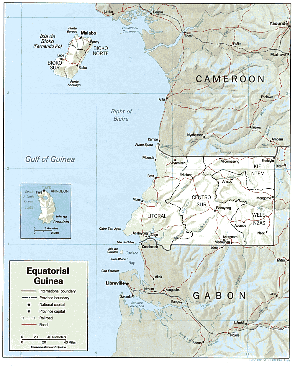
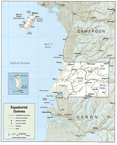
| Cifagol | Shaded relief map of Equatorial Guinea. | |||
| Ñalngu | ||||
| Sewnde | [1] from the Perry-Castañeda Library Map Collection. | |||
| Binnduɗo | CIA | |||
| Jamirol (Kuuttoragol ndee fiilde) |
|

![[1]](http://www.lib.utexas.edu/maps/africa/equatorial_guinea.gif)
Aslol fiilde
Dobo e ñalngu/waktu ngam yiyde fiilde ndee no nde yaltirta e oon waktu nih.
| Ñalngu/Waktu | Dooɓre | Ɓete | Kuutoro | Yowre | |
|---|---|---|---|---|---|
| gonaaɗo | 11:00, 22 Colte 2006 | | 1 000 × 1 240 (264 KB) | Lupo | Shaded relief map of Equatorial Guinea. Source: [http://www.lib.utexas.edu/maps/africa/equatorial_guinea.gif] from the [http://www.lib.utexas.edu/maps/equatorial_guinea.html Perry-Castañeda Library Map Collection]. {{PD-USGov-CIA}} [[Category:Maps |
Kuutorgol fiilde
Ngoo hello ena huutoroo ndee fiilde:
Kuutoragol fiilde kuuɓtidinngol
Wikiiji ɗii-ɗoo goɗɗi ena kuutoroo ndee fiilde:
- Kuutoragol e ca.wikipedia.org
- Kuutoragol e cs.wikipedia.org
- Kuutoragol e el.wikipedia.org
- Kuutoragol e en.wikipedia.org
- Kuutoragol e en.wikiversity.org
- Kuutoragol e es.wikipedia.org
- Kuutoragol e fa.wikipedia.org
- Kuutoragol e fr.wikipedia.org
- Kuutoragol e ha.wikipedia.org
- Kuutoragol e hr.wiktionary.org
- Kuutoragol e hu.wiktionary.org
- Kuutoragol e id.wikipedia.org
- Kuutoragol e ig.wikipedia.org
- Kuutoragol e it.wikipedia.org
- Kuutoragol e ja.wikipedia.org
- Kuutoragol e ka.wikipedia.org
- Kuutoragol e lt.wikipedia.org
- Kuutoragol e mdf.wikipedia.org
- Kuutoragol e no.wikipedia.org
- Kuutoragol e pt.wikipedia.org
- Kuutoragol e si.wikipedia.org
- Kuutoragol e sr.wikipedia.org
- Kuutoragol e tum.wikipedia.org
- Kuutoragol e uk.wikipedia.org
- Kuutoragol e vec.wikipedia.org
- Kuutoragol e vi.wikipedia.org
- Kuutoragol e zh.wikipedia.org