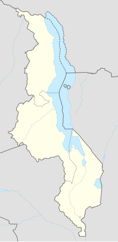
Ndunndoo
[[Category:Template:Pagetypes with short description]]
Ntcheu | |
|---|---|
| Coordinates: 14°50′S 34°40′E / 14.833°S 34.667°E | |
| Country | The ID " module 'Module" is unknown to the system. Please use a valid entity ID. |
| Region | Central Region |
| District | Ntcheu District |
| Elevation | Template:Infobox settlement/lengthdisp |
| Population (2018 Census[1]) | |
| • Total | 21,241 |
| Time zone | +2 |
| Climate | Cwa |
Ntcheu ko wuro nder leydi Mali. Ɗum woni laamorgo laamorgo nder diiwaan Ntcheu.Ntcheu anndiraa ngam kuuje mum, hawti e potatoes.
Demmografi
taƴto| Taal | Yimɓe[2] |
|---|---|
| 1987 | 5,814 |
| 1998 | 8,783 |
| 2008 | 14,642 |
| 2018 | 21,241 |
Firooji
taƴto.mw-parser-output .reflist{margin-bottom:0.5em;list-style-type:decimal}@media screen{.mw-parser-output .reflist{font-size:90%}}.mw-parser-output .reflist .references{font-size:100%;margin-bottom:0;list-style-type:inherit}.mw-parser-output .reflist-columns-2{column-width:30em}.mw-parser-output .reflist-columns-3{column-width:25em}.mw-parser-output .reflist-columns{margin-top:0.3em}.mw-parser-output .reflist-columns ol{margin-top:0}.mw-parser-output .reflist-columns li{page-break-inside:avoid;break-inside:avoid-column}.mw-parser-output .reflist-upper-alpha{list-style-type:upper-alpha}.mw-parser-output .reflist-upper-roman{list-style-type:upper-roman}.mw-parser-output .reflist-lower-alpha{list-style-type:lower-alpha}.mw-parser-output .reflist-lower-greek{list-style-type:lower-greek}.mw-parser-output .reflist-lower-roman{list-style-type:lower-roman}Lua error in Module:Authority_control at line 1429: attempt to call field '_showMessage' (a nil value).
- ↑ "2018 Population and Housing Census Main Report" (PDF). Malawi National Statistical Office. Retrieved 25 December 2019.
- ↑ World Gazetteer: Malawi: largest cities and towns and statistics of their population
